Back to shop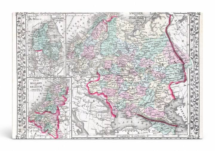
Antique Maps
Russia in Europe, Sweden, Norway (1874)
$49.99
In stock· SKU MAP086-CAN-SQ-1212-NIC
Manufactured in the USA · ships out in 5–7 days · always free shipping.
MaterialCanvas Wall Art
FormatSquare
Size12" x 12"
1
Highlights
- 1874 Mitchell Map of Russia — a faithful canvas reproduction of an authentic antique map.
- CHOOSE YOUR SIZE & FORMAT: Pick your dimensions and shape right from this listing — vertical, horizontal, panoramic and square options available.
- MUSEUM-QUALITY GICLEE: Fade-resistant archival inks on premium artist-grade canvas, hand-stretched and gallery-wrapped over a solid 1.5" wood frame, hardware attached and ready to hang.
- A REFINED FOCAL POINT for the living room, bedroom, study, home office or entryway — timeless style with lasting appeal.
- HANDCRAFTED IN THE USA: Made to order in multiple sizes and shapes — a thoughtful, gallery-worthy gift.
Description
A hand-colored antique engraved map from 1874 depicting Russia in Europe alongside Sweden and Norway, with inset maps of Denmark and Holland & Belgium framed within an ornate floral border. The map shows political boundaries, regional divisions, and place names across Eastern and Northern Europe, rendered in soft pastel washes of pink, green, and teal typical of mid-19th-century cartographic printing. Originally published by Samuel Augustus Mitchell, one of America's foremost map publishers of the era, this Mitchell Atlas map captures the political geography of Imperial Russia and Scandinavia at a time when the Russian Empire stretched from the Baltic to the Caspian Sea.