Back to shop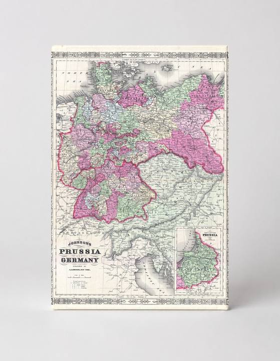
Antique Maps
Johnson's Map of Prussia and Germany (1866)
$49.99
In stock· SKU MAP080-CAN-SQ-1212-NIC
Manufactured in the USA · ships out in 5–7 days · always free shipping.
MaterialCanvas Wall Art
FormatSquare
Size12" x 12"
1
Highlights
- 1866 Johnson Map of Prussia and Germany — a faithful canvas reproduction of an authentic antique map.
- CHOOSE YOUR SIZE & FORMAT: Pick your dimensions and shape right from this listing — vertical, horizontal, panoramic and square options available.
- MUSEUM-QUALITY GICLEE: Fade-resistant archival inks on premium artist-grade canvas, hand-stretched and gallery-wrapped over a solid 1.5" wood frame, hardware attached and ready to hang.
- A REFINED FOCAL POINT for the living room, bedroom, study, home office or entryway — timeless style with lasting appeal.
- HANDCRAFTED IN THE USA: Made to order in multiple sizes and shapes — a thoughtful, gallery-worthy gift.
Description
This vibrant 1866 engraved map by A.J. Johnson depicts Prussia and Germany, rendered in hand-colored pink, green, and beige tones with intricate political boundaries, cities, and regional labels. Prussia, the dominant German state that would unify Germany just five years later in 1871, is shown spanning from the Rhine in the west to present-day Poland and Lithuania in the east. A decorative ornamental border frames the map, with an inset detail of Prussia in the lower right corner, making this a compelling piece of 19th-century cartographic history.