Back to shop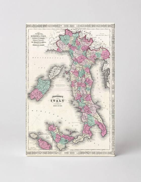
Antique Maps
Johnson's Map of Italy (1866)
$49.99
In stock· SKU MAP079-CAN-SQ-1212-NIC
Manufactured in the USA · ships out in 5–7 days · always free shipping.
MaterialCanvas Wall Art
FormatSquare
Size12" x 12"
1
Highlights
- 1866 Johnson Map of Italy — a faithful canvas reproduction of an authentic antique map.
- CHOOSE YOUR SIZE & FORMAT: Pick your dimensions and shape right from this listing — vertical, horizontal, panoramic and square options available.
- MUSEUM-QUALITY GICLEE: Fade-resistant archival inks on premium artist-grade canvas, hand-stretched and gallery-wrapped over a solid 1.5" wood frame, hardware attached and ready to hang.
- A REFINED FOCAL POINT for the living room, bedroom, study, home office or entryway — timeless style with lasting appeal.
- HANDCRAFTED IN THE USA: Made to order in multiple sizes and shapes — a thoughtful, gallery-worthy gift.
Description
This beautifully detailed 1866 Johnson's Map of Italy depicts the Italian peninsula, its major islands — Sardinia, Sicily, and Malta — along with surrounding Mediterranean waters, rendered in soft pink, green, teal, and yellow hand-color style. Published by Johnson and Ward, the map charts Italy's regional political divisions during a pivotal moment in history, just after the Risorgimento unification movement reshaped the country, including the Kingdom of Italy, Venetia, Piedmont, Lombardy, and the Papal States. Its ornate decorative border and crisp cartographic typography give it a timeless antique character that suits study, library, or travel-themed décor.