Antique Maps
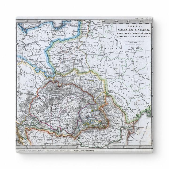
Stieler Map of Poland and Hungary (1862)
$49.99
MaterialCanvas Wall Art
FormatSquare
Size12" x 12"
Highlights
- 1862 Stieler Map of Poland and Hungary — a faithful canvas reproduction of an authentic antique map.
- CHOOSE YOUR SIZE & FORMAT: Pick your dimensions and shape right from this listing — vertical, horizontal, panoramic and square options available.
- MUSEUM-QUALITY GICLEE: Fade-resistant archival inks on premium artist-grade canvas, hand-stretched and gallery-wrapped over a solid 1.5" wood frame, hardware attached and ready to hang.
- A REFINED FOCAL POINT for the living room, bedroom, study, home office or entryway — timeless style with lasting appeal.
- HANDCRAFTED IN THE USA: Made to order in multiple sizes and shapes — a thoughtful, gallery-worthy gift.
Description
This hand-colored engraved map from 1862 depicts Central and Eastern Europe, covering Poland, Galicia, Hungary, Croatia, Transylvania (Siebenbürgen), Moldau, and Wallachia, with regional borders highlighted in red, orange, and green against a warm parchment-toned background. The map was published by Justus Perthes in Gotha as part of Adolf Stieler's renowned Hand-Atlas — one of the most respected German cartographic works of the 19th century, prized for its precision and detail. Hungary is prominently centered, surrounded by the Carpathian mountain ranges, the Adriatic coastline to the southwest, and the Danube river basin, offering a rich historical snapshot of the region before the Austro-Hungarian Compromise of 1867.