Antique Maps
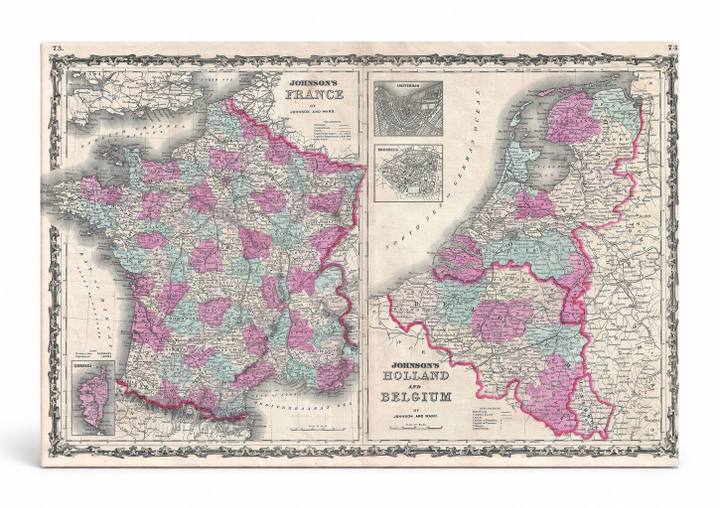
Johnson's Map of France, Holland and Belgium (1862)
$49.99
MaterialCanvas Wall Art
FormatSquare
Size12" x 12"
Highlights
- 1862 Johnson Map of France, Holland and Belgium — a faithful canvas reproduction of an authentic antique map.
- CHOOSE YOUR SIZE & FORMAT: Pick your dimensions and shape right from this listing — vertical, horizontal, panoramic and square options available.
- MUSEUM-QUALITY GICLEE: Fade-resistant archival inks on premium artist-grade canvas, hand-stretched and gallery-wrapped over a solid 1.5" wood frame, hardware attached and ready to hang.
- A REFINED FOCAL POINT for the living room, bedroom, study, home office or entryway — timeless style with lasting appeal.
- HANDCRAFTED IN THE USA: Made to order in multiple sizes and shapes — a thoughtful, gallery-worthy gift.
Description
This striking 1862 double-plate atlas map by Johnson & Ward depicts France on the left and Holland (the Netherlands) and Belgium on the right, rendered in vivid hand-colored pink, teal, and green to distinguish departments and provinces. France, the largest country in Western Europe, is shown with its historic departmental divisions, while the Low Countries — the Netherlands and Belgium, which had separated into independent nations only in 1830 — are detailed with regional boundaries and city insets including Amsterdam and Brussels. The ornate decorative border, bold typography, and meticulous cartographic detail make this a classic example of mid-19th-century American commercial atlas cartography.