Antique Maps
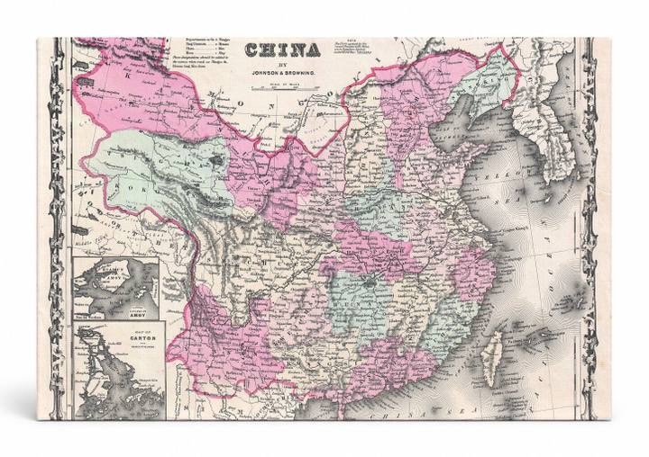
Johnson's Map of China (1861)
$49.99
MaterialCanvas Wall Art
FormatSquare
Size12" x 12"
Highlights
- 1861 Johnson Map of China — a faithful canvas reproduction of an authentic antique map.
- CHOOSE YOUR SIZE & FORMAT: Pick your dimensions and shape right from this listing — vertical, horizontal, panoramic and square options available.
- MUSEUM-QUALITY GICLEE: Fade-resistant archival inks on premium artist-grade canvas, hand-stretched and gallery-wrapped over a solid 1.5" wood frame, hardware attached and ready to hang.
- A REFINED FOCAL POINT for the living room, bedroom, study, home office or entryway — timeless style with lasting appeal.
- HANDCRAFTED IN THE USA: Made to order in multiple sizes and shapes — a thoughtful, gallery-worthy gift.
Description
This richly hand-colored antique map of China, published in 1861 by Johnson & Browning, presents the Qing Empire's vast territory in vivid pink, green, and beige tones, with provincial boundaries, city names, and geographic features meticulously engraved in period style. China, one of the world's oldest continuous civilizations, is shown here during a turbulent era — the height of the Taiping Rebellion — with inset detail maps of Amoy (Xiamen) and Canton (Guangzhou), two of the five treaty ports opened to Western trade after the First Opium War. Decorative scrollwork frames the composition, lending it the elegant cartographic character of mid-19th century American atlas production.