Antique Maps
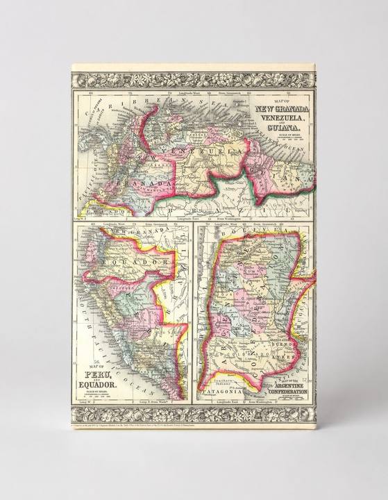
Map of New Granada, Venezuela, Guiana, Peru, Ecuador & Argentine Confederation (1863)
$49.99
MaterialCanvas Wall Art
FormatSquare
Size12" x 12"
Highlights
- 1860 Mitchell's Map of Peru, Ecuador, Venezuela, Columbia and Argentina — a faithful canvas reproduction of an authentic antique map.
- CHOOSE YOUR SIZE & FORMAT: Pick your dimensions and shape right from this listing — vertical, horizontal, panoramic and square options available.
- MUSEUM-QUALITY GICLEE: Fade-resistant archival inks on premium artist-grade canvas, hand-stretched and gallery-wrapped over a solid 1.5" wood frame, hardware attached and ready to hang.
- A REFINED FOCAL POINT for the living room, bedroom, study, home office or entryway — timeless style with lasting appeal.
- HANDCRAFTED IN THE USA: Made to order in multiple sizes and shapes — a thoughtful, gallery-worthy gift.
Description
This beautifully hand-colored 19th-century engraved atlas plate presents three detailed regional maps of South America — covering New Granada (present-day Colombia), Venezuela, Guiana, Peru, Ecuador, and the Argentine Confederation — surrounded by an ornate floral border typical of Samuel Augustus Mitchell's mid-Victorian cartographic style. The maps use vivid pink, yellow, and green tints to delineate political boundaries, with rivers, mountain ranges, and place names rendered in fine engraved script. Originally published around 1863, this plate reflects the transitional political geography of South America following the independence movements of the early 19th century, when nations like the Argentine Confederation — which formally became the Argentine Republic in 1859 — were still consolidating their borders.