Back to shop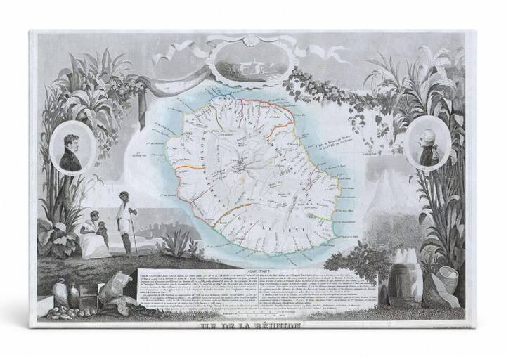
Antique Maps
Ile de La Réunion (1850)
$49.99
In stock· SKU MAP022-CAN-SQ-1212-NIC
Manufactured in the USA · ships out in 5–7 days · always free shipping.
MaterialCanvas Wall Art
FormatSquare
Size12" x 12"
1
Highlights
- 1850 Levasseur Map of Ile de La Reunion — a faithful canvas reproduction of an authentic antique map.
- CHOOSE YOUR SIZE & FORMAT: Pick your dimensions and shape right from this listing — vertical, horizontal, panoramic and square options available.
- MUSEUM-QUALITY GICLEE: Fade-resistant archival inks on premium artist-grade canvas, hand-stretched and gallery-wrapped over a solid 1.5" wood frame, hardware attached and ready to hang.
- A REFINED FOCAL POINT for the living room, bedroom, study, home office or entryway — timeless style with lasting appeal.
- HANDCRAFTED IN THE USA: Made to order in multiple sizes and shapes — a thoughtful, gallery-worthy gift.
Description
This ornate 1850 engraved map by Levasseur depicts Île de La Réunion, the French overseas island territory located in the Indian Ocean east of Madagascar, rendered in fine cartographic detail with hand-colored topographic highlights showing its volcanic interior and coastal settlements. The map is framed by elaborate decorative vignettes including portrait medallions of notable figures, lush tropical flora such as sugarcane and palms, and figures in period dress that evoke the island's colonial-era culture. A descriptive text panel anchors the lower portion, lending the piece both scholarly authority and the rich aesthetic character of 19th-century French atlas cartography.