Antique Maps
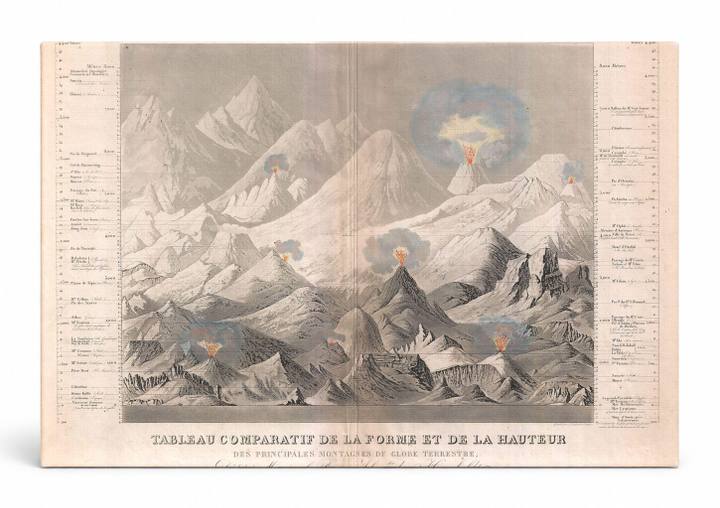
Tableau Comparatif de la Forme et de la Hauteur des Principales Montagnes du Globe Terrestre (1850)
$49.99
MaterialCanvas Wall Art
FormatSquare
Size12" x 12"
Highlights
- 1850 Andriveau-Goujon Comparative Chart of World Mountains — a faithful canvas reproduction of an authentic antique map.
- CHOOSE YOUR SIZE & FORMAT: Pick your dimensions and shape right from this listing — vertical, horizontal, panoramic and square options available.
- MUSEUM-QUALITY GICLEE: Fade-resistant archival inks on premium artist-grade canvas, hand-stretched and gallery-wrapped over a solid 1.5" wood frame, hardware attached and ready to hang.
- A REFINED FOCAL POINT for the living room, bedroom, study, home office or entryway — timeless style with lasting appeal.
- HANDCRAFTED IN THE USA: Made to order in multiple sizes and shapes — a thoughtful, gallery-worthy gift.
Description
This striking 1850 comparative mountain chart by Parisian cartographer Andriveau-Goujon presents the world's principal mountains side by side in a dramatic panoramic composition, with several peaks depicted as active volcanoes emitting glowing eruptions against a pale sky. The chart — titled 'Tableau Comparatif de la Forme et de la Hauteur des Principales Montagnes du Globe Terrestre' — is dedicated to the renowned naturalist Baron Alexander von Humboldt, whose pioneering work on mountain geography and elevation comparison directly inspired this genre of scientific visualization. Dense annotation columns on both sides list mountain heights and geographic data, making this both a work of art and a landmark document in the history of cartographic and scientific illustration.