Antique Maps
Map of Florence (Firenze), Italy (1835)
$49.99
MaterialCanvas Wall Art
FormatSquare
Size12" x 12"
Highlights
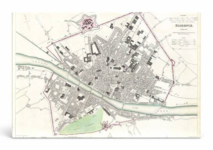
- 1835 S.D.U.K. City Map or Plan of Florence or Firenze, Italy — a faithful canvas reproduction of an authentic antique map.
- CHOOSE YOUR SIZE & FORMAT: Pick your dimensions and shape right from this listing — vertical, horizontal, panoramic and square options available.
- MUSEUM-QUALITY GICLEE: Fade-resistant archival inks on premium artist-grade canvas, hand-stretched and gallery-wrapped over a solid 1.5" wood frame, hardware attached and ready to hang.
- A REFINED FOCAL POINT for the living room, bedroom, study, home office or entryway — timeless style with lasting appeal.
- HANDCRAFTED IN THE USA: Made to order in multiple sizes and shapes — a thoughtful, gallery-worthy gift.
Description
This detailed 1835 city plan of Florence, Italy — produced by the Society for the Diffusion of Useful Knowledge (S.D.U.K.) — depicts the historic urban fabric of Firenze, including the winding Arno River that bisects the city, major piazzas, and landmark buildings rendered in black ink on an aged cream ground. Florence, the capital of Tuscany, was the cradle of the Italian Renaissance and home to iconic structures such as the Duomo and the Uffizi, many of which can be identified in this meticulously engraved street-level map. Star-shaped fortifications at the city's periphery and the red-outlined city boundary add vivid contrast to the otherwise monochrome cartographic composition, making it an elegant and historically rich piece of wall art.