Antique Maps
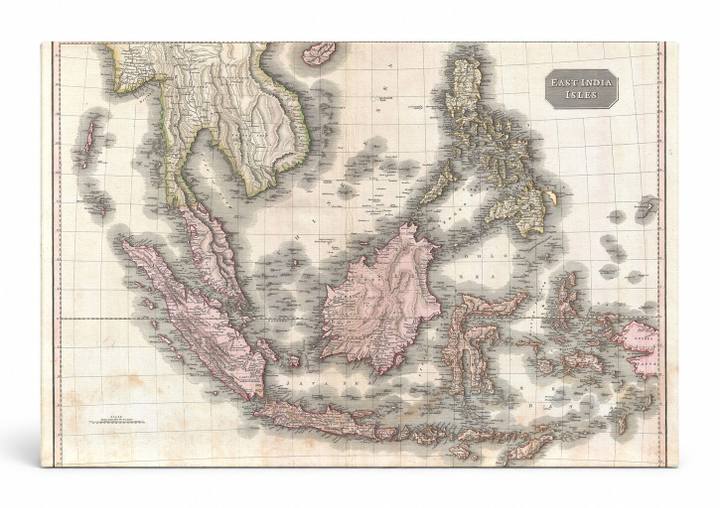
East India Isles (1818)
$49.99
MaterialCanvas Wall Art
FormatSquare
Size12" x 12"
Highlights
- 1818 Pinkerton Map of the East Indies and Southeast Asia (Singapore, Borneo, Java, Sumatra, Thailand — a faithful canvas reproduction of an authentic antique map.
- CHOOSE YOUR SIZE & FORMAT: Pick your dimensions and shape right from this listing — vertical, horizontal, panoramic and square options available.
- MUSEUM-QUALITY GICLEE: Fade-resistant archival inks on premium artist-grade canvas, hand-stretched and gallery-wrapped over a solid 1.5" wood frame, hardware attached and ready to hang.
- A REFINED FOCAL POINT for the living room, bedroom, study, home office or entryway — timeless style with lasting appeal.
- HANDCRAFTED IN THE USA: Made to order in multiple sizes and shapes — a thoughtful, gallery-worthy gift.
Description
This antique engraved map by John Pinkerton, published in 1818, depicts the East Indies and Southeast Asia in rich hand-colored detail, showcasing the island archipelagos of Sumatra, Java, Borneo, Sulawesi, and the Philippines alongside the Malay Peninsula and Indochina. The map uses soft rose and green washes to distinguish territories, with delicate ocean shading and fine cartographic typography characteristic of early 19th-century British atlas production. Borneo, the world's third-largest island, dominates the center of the composition, while the Philippine archipelago anchors the upper right — a region that was at this time a key crossroads of global maritime trade routes connecting Europe, China, and the spice-producing islands of the Dutch East Indies.