Antique Maps
1818 Pinkerton Map of Peru
$49.99
MaterialCanvas Wall Art
FormatSquare
Size12" x 12"
Highlights
- 1818 Pinkerton Map of Peru — a faithful canvas reproduction of an authentic antique map.
- CHOOSE YOUR SIZE & FORMAT: Pick your dimensions and shape right from this listing — vertical, horizontal, panoramic and square options available.
- MUSEUM-QUALITY GICLEE: Fade-resistant archival inks on premium artist-grade canvas, hand-stretched and gallery-wrapped over a solid 1.5" wood frame, hardware attached and ready to hang.
- A REFINED FOCAL POINT for the living room, bedroom, study, home office or entryway — timeless style with lasting appeal.
- HANDCRAFTED IN THE USA: Made to order in multiple sizes and shapes — a thoughtful, gallery-worthy gift.
Description
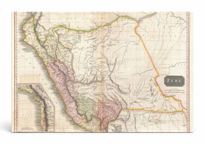
This hand-colored engraved map depicts Peru and its surrounding South American territories as surveyed and published by Scottish cartographer John Pinkerton in 1818, featuring delicately tinted regions in soft pinks, greens, and yellows with fine line-work showing rivers, mountain ranges, and place names. Peru, a country on the western coast of South America bordered by the Pacific Ocean, the Andes Mountains, and the Amazon Basin, is rendered here in its early 19th-century territorial extent — before many modern borders were formalized following South American independence movements of that era. A detailed inset along the left edge highlights the Pacific coastline, and an elegant cartouche in the lower right labels the map 'Peru,' making this a historically rich piece ideal for collectors of antique cartography.