Antique Maps
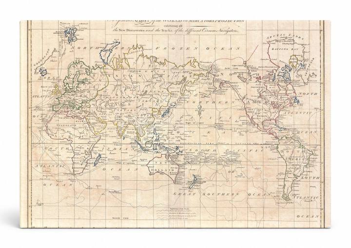
A General Chart of the World on Mercator's Projection (1799)
$49.99
MaterialCanvas Wall Art
FormatSquare
Size12" x 12"
Highlights
- 1799 Cruttwell Map of the World on Mercator's Projection — a faithful canvas reproduction of an authentic antique map.
- CHOOSE YOUR SIZE & FORMAT: Pick your dimensions and shape right from this listing — vertical, horizontal, panoramic and square options available.
- MUSEUM-QUALITY GICLEE: Fade-resistant archival inks on premium artist-grade canvas, hand-stretched and gallery-wrapped over a solid 1.5" wood frame, hardware attached and ready to hang.
- A REFINED FOCAL POINT for the living room, bedroom, study, home office or entryway — timeless style with lasting appeal.
- HANDCRAFTED IN THE USA: Made to order in multiple sizes and shapes — a thoughtful, gallery-worthy gift.
Description
This beautifully engraved 1799 world map by Clement Cruttwell presents the entire globe on Mercator's Projection, the cylindrical cartographic method developed by Flemish geographer Gerardus Mercator in 1569 that revolutionized maritime navigation by rendering lines of constant compass bearing as straight lines. The hand-colored chart details continents, ocean basins, and the tracks of famous explorers' circumnavigation voyages, capturing the state of geographic knowledge at the close of the 18th century. Its warm ivory and soft pastel tones, ornate calligraphic title cartouche, and delicate linework give it an elegant antique character perfectly suited to a study, library, or travel-themed interior.