Back to shop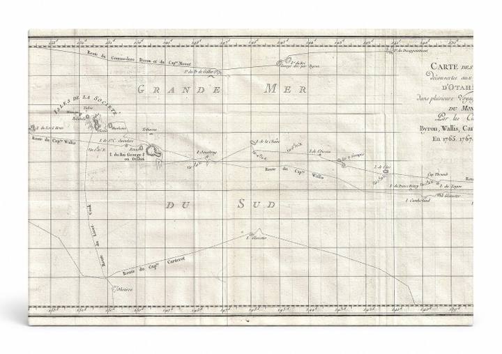
Antique Maps
Carte des Isles Découvertes — Otahaïti (1769)
$49.99
In stock· SKU MAP002-CAN-SQ-1212-NIC
Manufactured in the USA · ships out in 5–7 days · always free shipping.
MaterialCanvas Wall Art
FormatSquare
Size12" x 12"
1
Highlights
- 1769 Cook Map of Tahiti, the Society Islands, and the Vicinity — a faithful canvas reproduction of an authentic antique map.
- CHOOSE YOUR SIZE & FORMAT: Pick your dimensions and shape right from this listing — vertical, horizontal, panoramic and square options available.
- MUSEUM-QUALITY GICLEE: Fade-resistant archival inks on premium artist-grade canvas, hand-stretched and gallery-wrapped over a solid 1.5" wood frame, hardware attached and ready to hang.
- A REFINED FOCAL POINT for the living room, bedroom, study, home office or entryway — timeless style with lasting appeal.
- HANDCRAFTED IN THE USA: Made to order in multiple sizes and shapes — a thoughtful, gallery-worthy gift.
Description
This elegant 18th-century engraved nautical chart depicts Tahiti and the surrounding Society Islands in the South Pacific Ocean, rendered in fine cartographic detail with French labels and a gridded graticule. The map was compiled from voyages by Captains Byron, Wallis, Carteret, and James Cook — Cook's landmark 1768–1771 first voyage aboard HMS Endeavour being the most celebrated, during which he charted Tahiti and the surrounding archipelago with unprecedented precision. Soft cream tones, delicate line work, and period calligraphy give the piece the refined, scholarly character of French Enlightenment-era geography.