Back to shop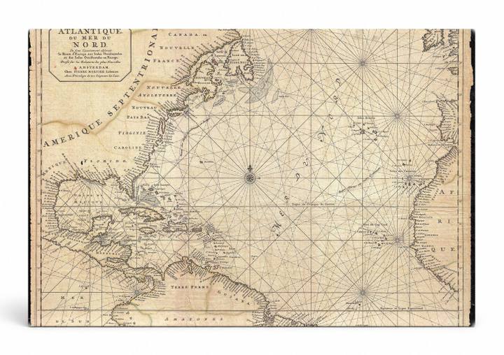
Vintage
Ocean Atlantique ou Mer du Nord Antique Chart
$59.99
In stock· SKU VIN001-CAN-RT-1114-NIC
Manufactured in the USA · ships out in 5–7 days · always free shipping.
FormatLandscape
Size11" x 14"
1
Highlights
- Ocean Atlantique ou Mer du Nord Antique Chart — a striking fine-art canvas print for your home or office.
- CHOOSE YOUR SIZE & FORMAT: Pick your dimensions and shape right from this listing — vertical, horizontal, panoramic and square options available.
- MUSEUM-QUALITY GICLEE: Fade-resistant archival inks on premium artist-grade canvas, hand-stretched and gallery-wrapped over a solid 1.5" wood frame, hardware attached and ready to hang.
- A REFINED FOCAL POINT for the living room, bedroom, study, home office or entryway — timeless style with lasting appeal.
- HANDCRAFTED IN THE USA: Made to order in multiple sizes and shapes — a thoughtful, gallery-worthy gift.
Description
This aged cartographic engraving depicts the North Atlantic Ocean — 'Océan Atlantique ou Mer du Nord' — spanning the eastern coastlines of North America (labeled Amérique Septentrionale) to Western Europe and the top of Africa, rendered with period rhumb lines and compass roses typical of 17th–18th century Dutch sea charts. The map was published in Amsterdam and charts major landmarks including the Caribbean Sea, the Gulf of Mexico, Canada, Florida, and the coasts of France, Spain, and West Africa. Its warm parchment tones, hand-lettered place names in French, and intricate engraved linework lend it a refined antique character well suited to a study, library, or nautical-themed décor.