Back to shop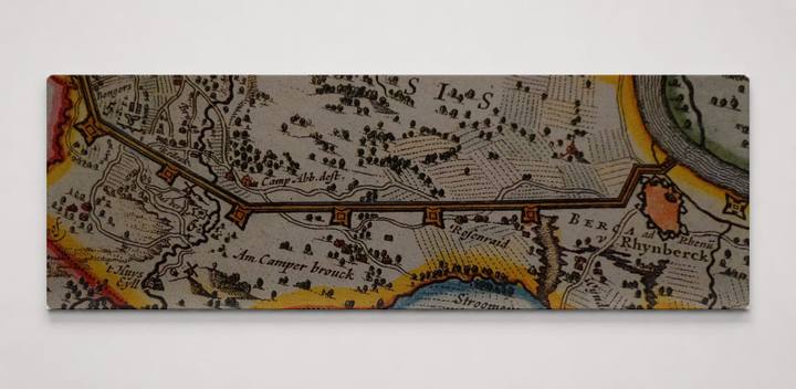
Nice Designs
Fossa Eugeniana 002
$89.99
In stock· SKU BLJ212-CAN-PANO-3010-NIC
Manufactured in the USA · ships out in 5–7 days · always free shipping.
FormatPanoramic
Size30" x 10"
1
Highlights
- Premium canvas print of Fossa Eugeniana 002
- Hand-stretched 1.5" gallery wrap canvas — arrives ready to hang, no frame needed
- Fade-resistant inks for long-lasting color and rich tones, made to order
- Made to order in the United States by niceandco.
- Finished size 30" W x 10" H
Description
A close-up photograph of an antique hand-colored map depicting the Fossa Eugeniana — a 17th-century canal project in the Lower Rhine region of what is now the Netherlands and Germany, near Rhynberck (modern Rheinberg). The map shows meticulously engraved settlements, waterways, dikes, and agricultural parcels rendered in warm ochre, green, and blue tones typical of Dutch Golden Age cartography. Visible place names including 'Am Camperbrouck,' 'Stroomeers,' and 'Rhynberck' anchor the scene along the Rhine's west bank, where the canal was intended to divert Rhine trade away from Spanish-controlled territories.